
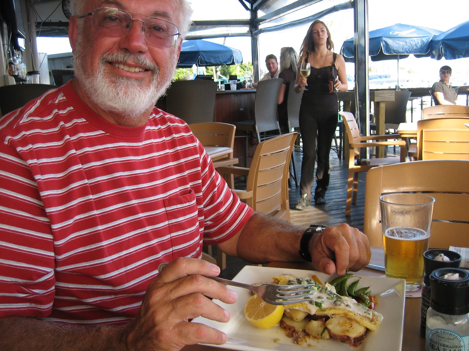
Our time at Carrabelle, FL was mostly spent fretting about the upcoming Gulf crossing, which route to take, and when a favorable weather window might be expected. We were not really in a sightseeing frame of mind, so we didn’t thoroughly explore our surroundings, but we did take a stroll around town one day and got a chuckle out of the sense of humor exhibited by the locals.

For the most part, the coastal communities such as Carrabelle along Florida’s Panhandle appear to be rather low-key in this area referred to as the “Forgotten Coast.”

There are basically two major routes to cross the Gulf of Mexico from the Panhandle to Florida’s west coast, one which requires an overnight passage from Carrabelle straight across to Tarpon Springs or Clearwater (about 180 miles), or one requiring 4-5 cruising days following the coastline along Florida’s Big Bend and stopping overnight at places along the way such as Steinhatchee, Suwannee, Cedar Key, and Crystal River. We wanted to take the Big Bend Route, mainly to avoid the long overnight crossing, but were warned by those with local knowledge that this could be treacherous due to dangerously shallow depths at harbor entrances along this route, plus an enormous number of difficult to see crab traps presenting hazards to navigation.
We agonized about the route decision for four days, discussing the two options with others who were also waiting in Carrabelle for an appropriate weather window. Then, all of a sudden, we realized that the weather was about as good as it was likely to get for some time to come and we, along with two other boats, decided to go. Just like that, we were on our way.

Shortly thereafter, with the herding instinct in full gear, several others followed us out of the marina, not wishing to be left behind, making us a convoy of eight boats beginning the Gulf crossing. We all figured that, if we didn’t like what we saw out there in terms of wind and waves, we could always turn around and come back. As we approached Dog Island headed for the East Pass en route to the Gulf of Mexico, we began to encounter swells.

Hoping they would not increase too much in height we continued on. By now we had made our decision. Everyone else in the convoy was taking the direct route, so we figured we ought to do it too. Just the comfort of knowing we were not alone out there made the prospect of the overnight cruise less frightening. By the time the sun went down, the Gulf waters had settled down to just a moderate surface chop with no real waves to deal with.

We had already plotted a course to Clearwater and were carefully following it on our electronic GPS Chartplotter, using a split screen with radar images on one side so that we could monitor the positions of our cruising buddies as well as any other vessels we might encounter along our route. Then as darkness descended upon us after sunset, each boat’s running lights sparkled like low hanging stars on the horizon.
Since this had been a rather impromptu exodus from the marina, we now communicated with the other boats via VHF radio, comparing projected cruising speeds and destinations for each of us. Several boats were headed further south to the Tampa Bay area and would soon be out of sight even on our radar screen, but one of the boats, “Tosmo,” now two miles ahead of us was bound for Clearwater just like us, and we vowed not to lose sight of her. All through the long, dark night, this beacon of light off in the distance was pretty much all we could see, except for just a sliver of moon which finally rose around 3:00 a.m.
Luckily, the seas remained relatively calm throughout the night, providing no navigational difficulties. Our greatest challenge was not falling asleep throughout 13 hours of darkness. But we kept each other company and somehow managed to stay awake, until finally we saw a glow in the sky and realized that sunrise was almost upon us.

As the sun peeked over the horizon, we could just barely begin to see a tiny profile of Clearwater emerging way off in the distance. We rejoiced in the wonder of modern navigational tools which allowed us to cross this huge body of water in total darkness for many hours and end up exactly where we intended!

During all those hours of cruising in darkness we were careful to maintain a course which kept us in water greater than 50 ft. deep where there would be no crab traps to foul our props. Now that we were just a few miles from shore in shallower water, however, this was not the case. What a challenge we faced with the sun in our eyes, dodging numerous crab traps which were not visible until the last minute when we were almost on top of them. But luckily, we managed to avoid them all, and as the sun rose higher in the sky, we were soon passing beachfront condos on our approach to Clearwater Pass.

Once inside the inlet, it was just a short distance to our destination, Clearwater Municipal Marina, where we gratefully pulled into a slip and tied up right near our Gulf crossing buddy boat, “Tosmo.” It was now 9:00 a.m. on Sunday, November 20th. We had left C-Quarters Marina in Carrabelle, 178 miles away, the previous afternoon at 1:15, and we were exhausted, but happy.

After a much needed nap, we walked over to Clearwater Beach to check out our surroundings.

Although the beach park was very nice, the streets in the immediate area were crowded with tourist traps and seemed rather overwhelming after the quiet, laid back atmosphere we had become accustomed to. Plus, we were both still feeling physically exhausted, so we retreated to the relative peace and quiet of our marina.

There we enjoyed some of the simple pleasures of boating life, such as watching an osprey stretch his wings while perched on the mast of a neighboring sailboat, and taking in the sunset view from the comfort of our aft deck. Ah, life is good.


When we left Clearwater Municipal Marina the following day, first we retraced our route toward the inlet we had entered from the Gulf the day before, passing by the highway bridge which spans it.

Then we joined up with the Gulf Intra-coastal Waterway, headed south toward Tampa Bay and St. Petersburg, our next destination. It was a great day to enjoy the sights along the way, such as lovely waterfront homes.

There were several bridges on our route, but none that had to open for us. But a few of them were not much higher than our boat, and we kind of held our breath until we cleared them.

Pretty soon we found ourselves entering Tampa Bay and nearing St. Petersburg.

On our approach to the Municipal Marina in the Central Yacht Basin, we passed The Pier, a popular tourist attraction with aquarium, shops, and restaurants.

After fueling up and settling in on the transient dock, we enjoyed a tasty meal at a bistro overlooking our marina.


Then we just relaxed and soaked up the atmosphere.

The next morning we took advantage of favorable tide and wind conditions to cross Tampa Bay toward the Sunshine Skyway Bridge in just a light chop.

Then, after passing channels open to the Gulf of Mexico, the Waterway entered Anna Maria Sound and the relative protection afforded by barrier islands.

Here we passed one waterfront community after another, each with canals branching off from the Gulf Intra-coastal Waterway.


After crossing Sarasota Bay and passing under the bridge at the Ringling Causeway, boat traffic increased on our approach toward Marina Jack at Sarasota. It was the day before Thanksgiving, and we were lucky to get a reservation for dockage there. The marina entrance was so busy with boats of all sizes coming and going, in fact, that we had to hold off for quite a while before receiving our slip assignment.


This is a popular marina, and we could see why. It’s well located in the heart of Sarasota, but in a lovely park-like setting.


Of the various restaurant options available on site, we particularly enjoyed the tropical setting of this thatched hut outdoors eatery.


On Thanksgiving Day, the son of good friends of ours graciously invited us to his home on Siesta Key for dinner with his family. What a wonderful meal, especially the home-made Key Lime Pie! Joe was generous enough to share the recipe, which we have very successfully used twice since then. Yum.
From Sarasota it was just a short cruise to Venice, along another protected inside channel, much of it lined with mangroves, the perfect habitat for egrets, herons, and pelicans.

We decided to stop at the Crow’s Nest Marina and Restaurant right at Venice Inlet so that we would be near the beach. It was just a short walk from our boat out onto the inlet pier.


Using courtesy bikes provided by the marina, we explored the surrounding neighborhood, including some of its canals, and enjoyed a walk on the beach. The Gulf water temperature was 68 degrees, warm enough for wading but not for swimming, at least not for us.


Since this was a holiday weekend, there were plenty of pleasure boats to observe, some of which anchored out together just off the inlet channel near us overnight.

As we sidled away from the dock the following morning, the bow thruster stopped working. Although we knew that we would have to have a mechanic check it out sooner or later, there was no real problem continuing on our trip without it.
Our next destination was Cabbage Key, a small island accessible only by boat. The main attraction of this otherwise unspoiled island retreat is the Old House Restaurant with thousands of signed dollar bills tacked to its walls and ceiling, a tradition supposedly started years ago by tarpon fishermen stopping by and wanting to guarantee a cold beer on their return.

Weekends, especially holiday weekends, are very busy here at lunchtime. In fact, we had to wait at an anchorage near the entrance channel until 1:00 p.m. before even attempting to approach the island. Once docked at the marina, we just observed the frenzy of other boats coming and going, waiting until the quiet of evening to sample the restaurant’s fine cuisine for ourselves.


On Sunday morning, November 27, we crossed Pine Island Sound and San Carlos Bay, reaching Mile 0 on the Florida West Coast Gulf Intra-coastal Waterway.

As we entered the busy Caloosahatchee River at Cape Coral, we were also beginning our journey on the Okeechobee Waterway which would take us across Florida to Stuart on the East Coast.

When we approached a pair of highway bridges, we knew we had reached Fort Myers.

The Fort Myers Yacht Basin on the south shore was a tempting layover option, but we decided to continue on upriver, thereby putting more mileage under our keel before stopping for the day.

Eight and a half miles upstream in a protected cove along the Caloosahatchee Canal we found the perfect spot at Sweetwater Landing.

Our goal for the following day was to reach the town of Moore Haven on the southwestern shore of Lake Okeechobee. Along the way we felt like we were going back in time to scenes of the Florida of long ago, with orange groves, cattle ranches, sugarcane fields, and tangles of lush vegetation.


At Moore Haven we had two options for places to tie up for the night, both of them self-service docks. We opted for the first one which had an appealing looking sign saying, “Welcome to the Riverhouse Marina.” Following printed instructions we found on the dock, after securing the boat we placed $47 ($1 per ft., with electricity) in an envelope and slipped it through a slot on a locked box.

Then we went for a walk to check out the town. Directly across the street from us was the Riverhouse, presumably a guest house.

Next was the City Hall with adjoining park, right across the street from the City Dock which would have been our other option.


The rest of this “downtown” area appeared to consist mostly of vacant buildings which used to house various businesses. We were told that the new Rt. 27 highway bridge now spanning the canal made it so easy for Moore Haven residents to shop at larger stores nearby that it killed their own downtown businesses.

The next morning, after passing the City Dock, cruising under the Rt. 27 Bridge, and squeezing through the opening of an old railroad bridge, we noted the low-key modest waterfront homes along the approach to the Moore Haven Lock.


Once on the other side of the lock, it was just a short distance to where we would need to turn right to follow the southern shore of Lake Okeechobee about 13 miles eastward to Clewiston, where we would have to decide whether to cross the open, exposed waters of Lake Okeechobee or to continue following the more protected Rim Route around the edge of the lake.

We weren’t sure exactly what to expect along this route, although we had heard that it could be very shallow. What we encountered almost immediately was an enchanting waterway lined with hauntingly stark, yet beautiful, vistas when viewed in silhouette in the early morning light.


By the time we reached signs of civilization and decision time, we were thoroughly hooked on the Rim Route, especially since we had been assured by the lockmaster back at Moore Haven that the current water depth was sufficient for us.

About 15 miles past Clewiston we encountered a bit of a problem. We were approaching the Torry Island Swing Bridge (11 ft. closed vertical clearance) from Belle Glade, but could not raise anyone either on VHF radio or via telephone to open it for us (we require 18 ft. vertical clearance). Finally, we called nearby Slim’s Fish Camp, and they sent someone over to operate the hand crank to open the bridge.


A few miles later, the canal-like portion of the Rim Route came to an end as we entered the lake itself and rounded Bacon Pt.


It was almost noon and the wind on Lake Okeechobee was picking up, so we were glad to be near our destination, Loggerhead Marina - Pahokee. This beautiful marina was almost empty and under-staffed, but a welcome refuge for the night.


Throughout the night we experienced strong northwest winds whipping across the lake, and even though we were somewhat “protected” by the marina’s breakwater, it was quite a bouncy ride tied up to their floating docks. But, by morning all was calm again so we moved on toward the Port Mayaka Lock where we would leave Lake Okeechobee behind.

Since the water level in the lake was rather high, there was no need to lock down to the St. Lucie Canal, so we were directed to cruise right on through the open Port Mayaka Lock.


What we saw when we emerged from the lock was utterly breathtaking, the Port Mayaka RR Lift Bridge just a mile ahead of us, reflected on the glassy smooth St. Lucie Canal.

We weren’t sure where we would end up on this last day of November; we were just enjoying the views along the way.


Should we drop the anchor in some peaceful spot along the canal, or should we stop at Indiantown Marina? No, let’s keep going; it’s such a beautiful day for cruising.


Past waterfront homes, some with boats and some without, past horses placidly grazing, seemingly without a care in the world, on we went.


And then we reached the St. Lucie Lock which would transfer us from this canal, down 13 feet or so, into the St. Lucie River.

Some boats (with lengths up to 35 ft.) stop here on the west side of the lock for a day or more, enjoying the picnic areas, nature trails, and visitor’s center.

As the gates open, we move on into the lock, #104 for us, and the last one on our Great Loop cruise. As if as a parting shot, as soon as we are secured and the gates close behind us, the lockmaster opens the forward gates a bit and the water inside the lock begins rushing out. Meanwhile, we are hanging on for dear life to lines attached to the lock wall, hoping we can keep the “Docker” from making a run for it toward the gates.

To make things even more interesting, we are cautioned that a towboat and barge are on the other side, waiting for us to exit the lock so they can enter. It’s tricky moving past such a tow without getting caught in the turbulence caused by its prop-wash.

As we head down the South Fork of the St. Lucie River, we pass a few marinas, but none that interest us since we are now so close to Stuart where we intend to spend the winter.

Our excitement mounts as we approach the Roosevelt Bridges, old and new, with our destination coming into view on the far side.

And then we’re there, approaching the entrance channel to Loggerhead Club and Marina – Stuart, where this journey began last March and where it finally comes to an end, eight months and 12 days later. We have crossed our wake and returned to Slip C-67, and it feels good.

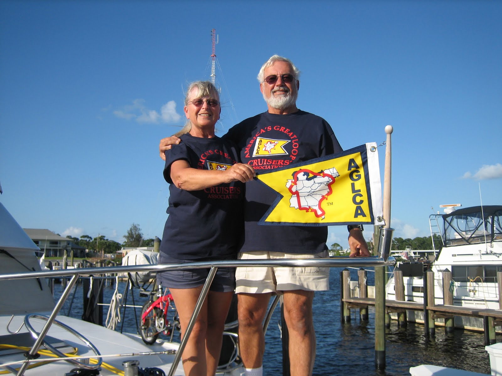
As the sun sets on November 30, 2011, we sit on our aft deck, enjoying the view, content in the fact that we have accomplished our goal for the year. We have traveled aboard our own boat, the “Docker’s Inn,” a total of 5,440 miles through seventeen U.S. States and one Canadian Territory, circumnavigating Eastern North America, completing America’s Great Loop Cruise.
